













Explore Grassrivers
Use the regional marker to get your bearings, then open the individual places below.
How to read the wetlands
Start with the regional marker and look for roads and structures that meet the water. Distant skyline cues are less useful here than the shape of the shoreline, the angle of a boardwalk, or the position of a roadside sign.
Airboats and alligators in the official images
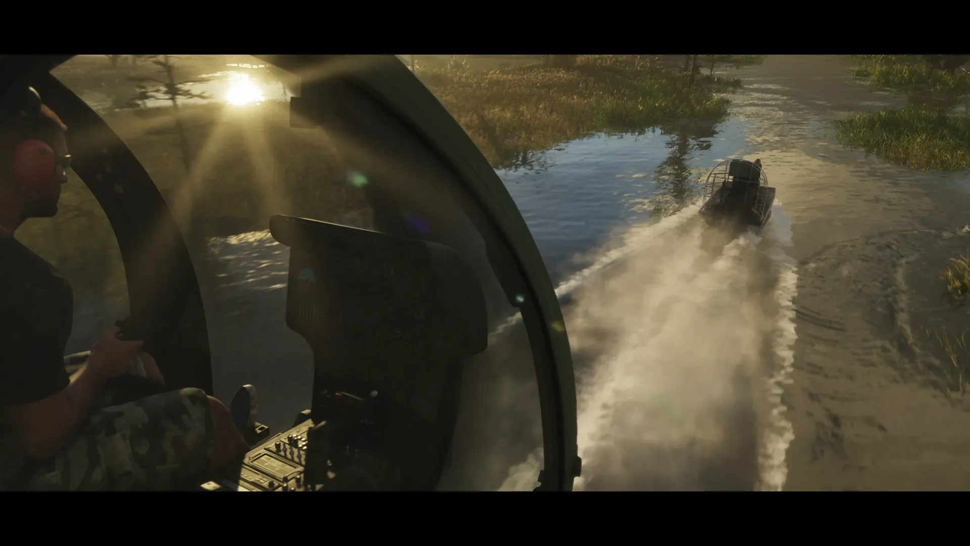
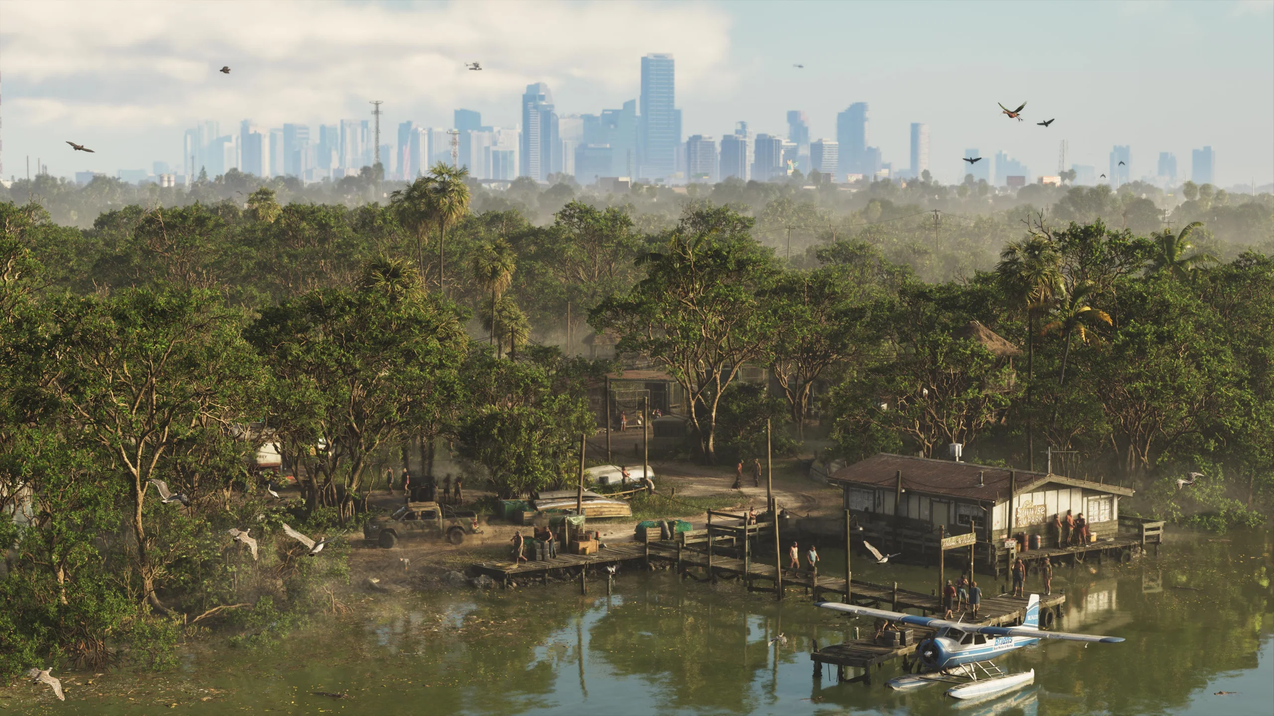
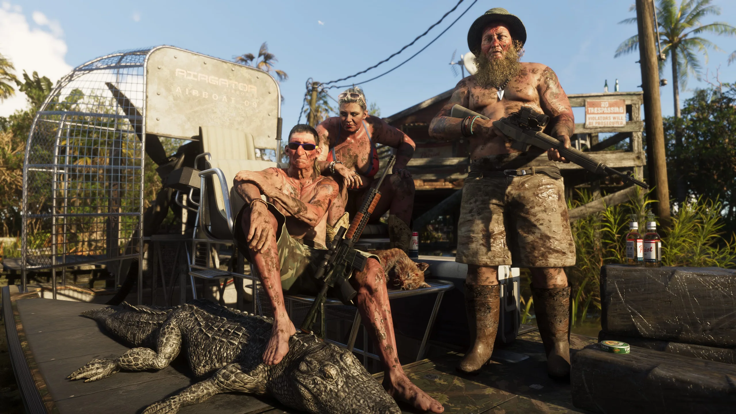
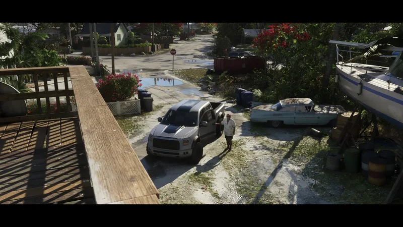
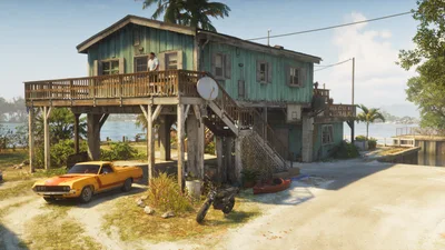
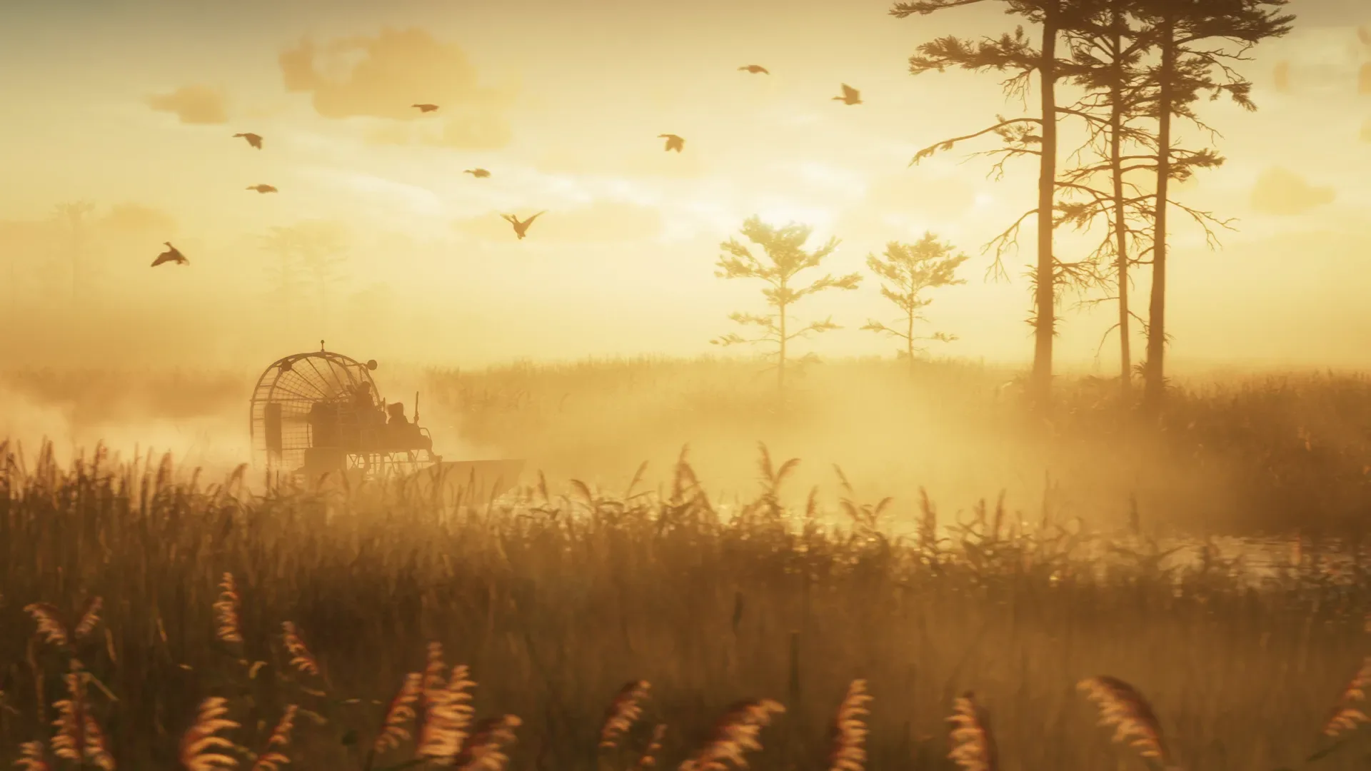
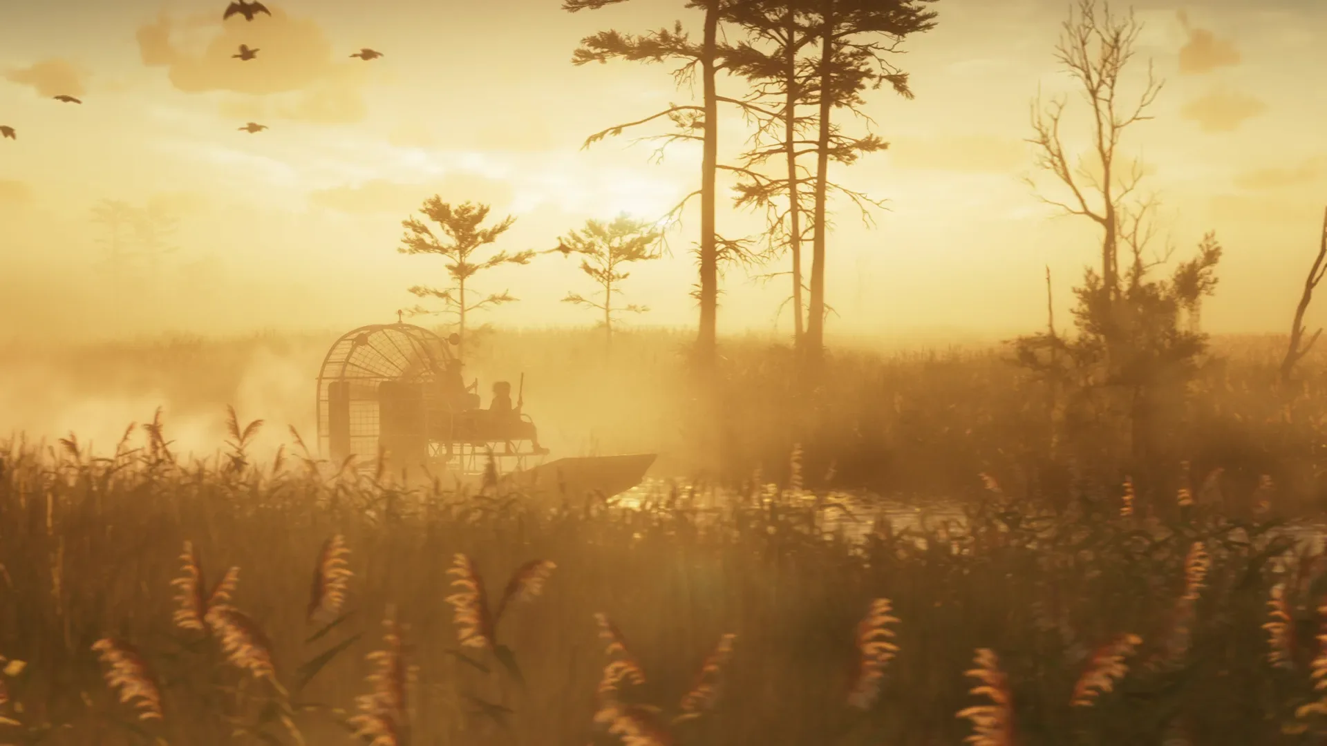
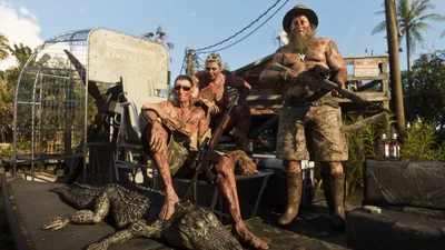
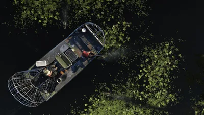
Grassrivers 01 shows an airboat and an alligator. Grassrivers 02 shows buildings on pilings and a boat on the water. Grassrivers 04 shows vehicles passing through flooded grass. Together these are useful references for recognizing the region and the kinds of scenery Rockstar has shown.
Watson Bay or Sunrise RV Park?
Pick Watson Bay for the waterfront reference or Sunrise RV Park for the park’s separate point. Pelican Valley has a catalogue entry, which is useful for names and context. For an atlas pin, use one of the marked places below.
Places to look up
Watson Bay
A waterfront reference with its own place marker.
Map pinSunrise RV Park
A distinct reference for the park on the local atlas.
Map pinPelican Valley
Read the location entry for the references available so far.
The atlas is a third-party map. Markers based on screenshots or trailers can be approximate.
Keep exploring
Sources
Connections 9


Seen at
1 place · position checked by playersMedia 13